RICARDO RANCH AREA STRUCTURE PLAN
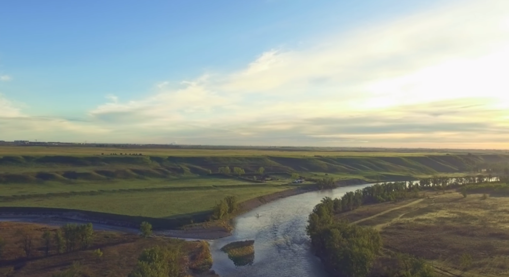
The Ricardo Ranch Area Structure Plan provides a vision and framework for the future development of approximately 635 hectares (1,570 acres) of land in southeast Calgary. The lands in the Plan are bound by the community of Seton to the north, Deerfoot Trail S.E. to the west, the Bow River to the south and 88 Street S.E. to the east.
Ricardo Ranch will be home to approximately 16,000 to 20,000. The community will incorporate public amenities within walking distance for all residents. Pedestrian connections, public transportation and cycling facilities will provide access to parks, employment, retail, leisure, and cultural destinations.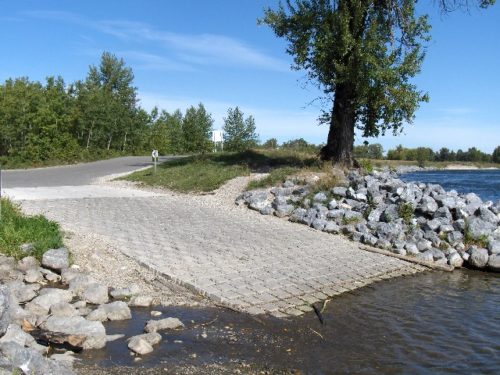
Conservation of natural environments within the Bow River valley will enable residents, workers and visitors to enjoy a healthy, active lifestyle and protect biodiversity within the city.
The importance of river access has been recognized in the Area Structure Plan with the proposal to expand the Calgary River Access Strategy to include a new river access site and day use area at Ricardo Ranch. The River Access Proposal will expand readily accessible river access to the south-east quadrant of Calgary.